|
The imaginary circles that show us where the Arctic and Antarctic Circles are real!  That's a very nice sign placed on the imaginary Arctic Circle! Why do we care? It is all about the latitude...do you see the latitude numbers on the sign? Right at this point, the Sun is either totally in the sky for 24 hours per day, or the sun is totally absent from the sky for 24 hours per day, depending on the season.  Living on or above the Arctic Circle or even on the Antarctic Circle would be a challenge for some, and for others the experience of a lifetime.  Humans are funny creatures...Who even thought to make a grid system around our entire Earth? Actually it was a really, really old guy...Eratosthenes in the 3rd century BC first proposed a system of latitude and longitude for a map of the world. By the 2nd century BC Hipparchus was the first to use such a system to uniquely specify places on Earth. 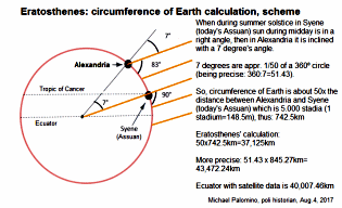 Ummm, let me clarify...he was a really, really old, smart guy who loved math and astronomy.  Another really smart guy, a clockmaker thought up the longitude lines. John Harrison (3 April 1693 – 24-March 1776) was a self-educated English carpenter and clockmaker who invented a marine chronometer, a long-sought-after device for solving the problem of calculating longitude while at sea. 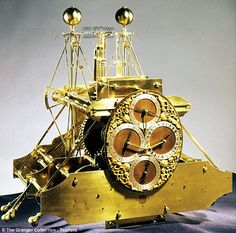 Once the Earth was all mapped out in a grid system evidence for the seasons became clearer. 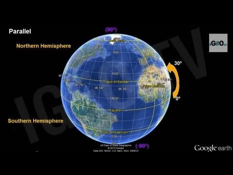 Did humans put signs on all the major latitude lines? 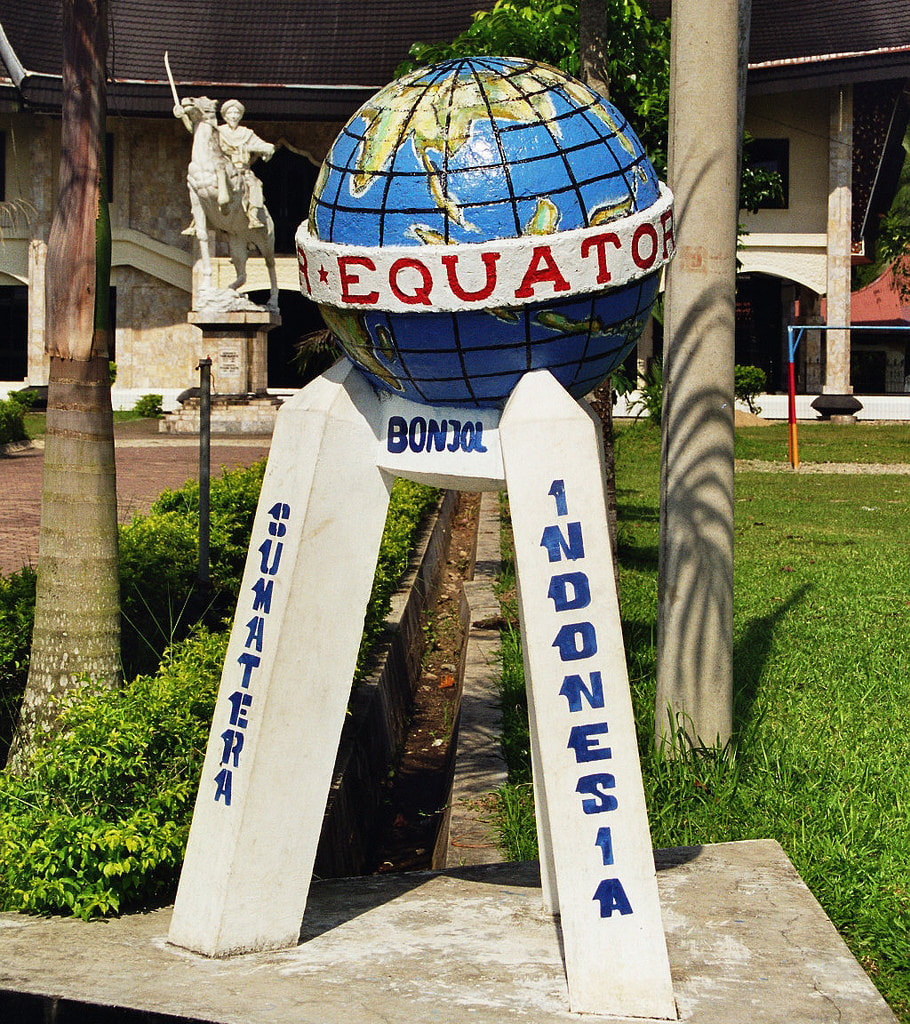 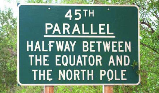  Apparently humans like to make signs for everything! 
11 Comments
|
Mrs. TaylorI love science! Everything about the world is interesting and never boring. I love to study plants, animals, insects, and people. My favorite subjects are my students who are the most unique organisms on the planet! Categories |
 RSS Feed
